
Tract 6 out of a portion of Section 17, T21N, R1W, N.M.P.M., Sandoval County.
Lot Information:
Total Lot Acreage: 10.0
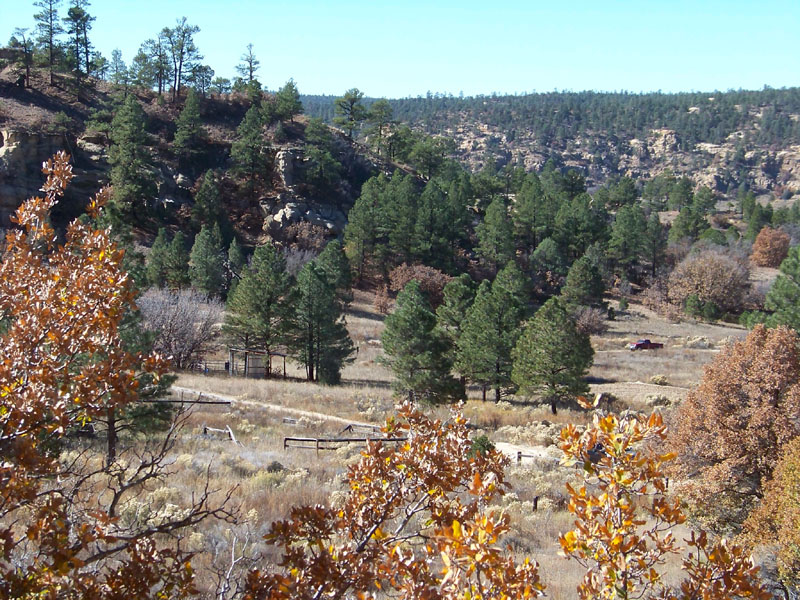
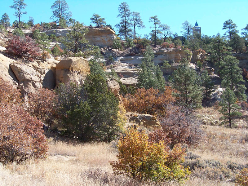
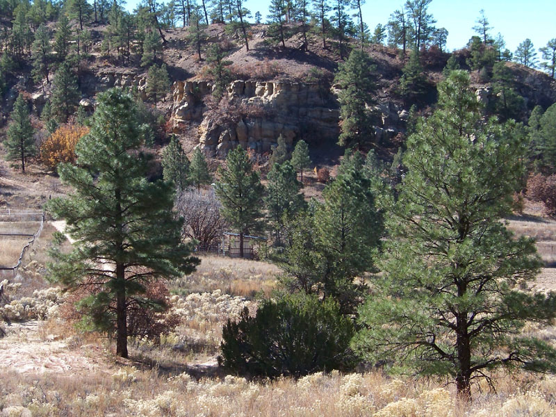
Gorgeous property, beautiful tall trees throughout top portion, great mountain views.
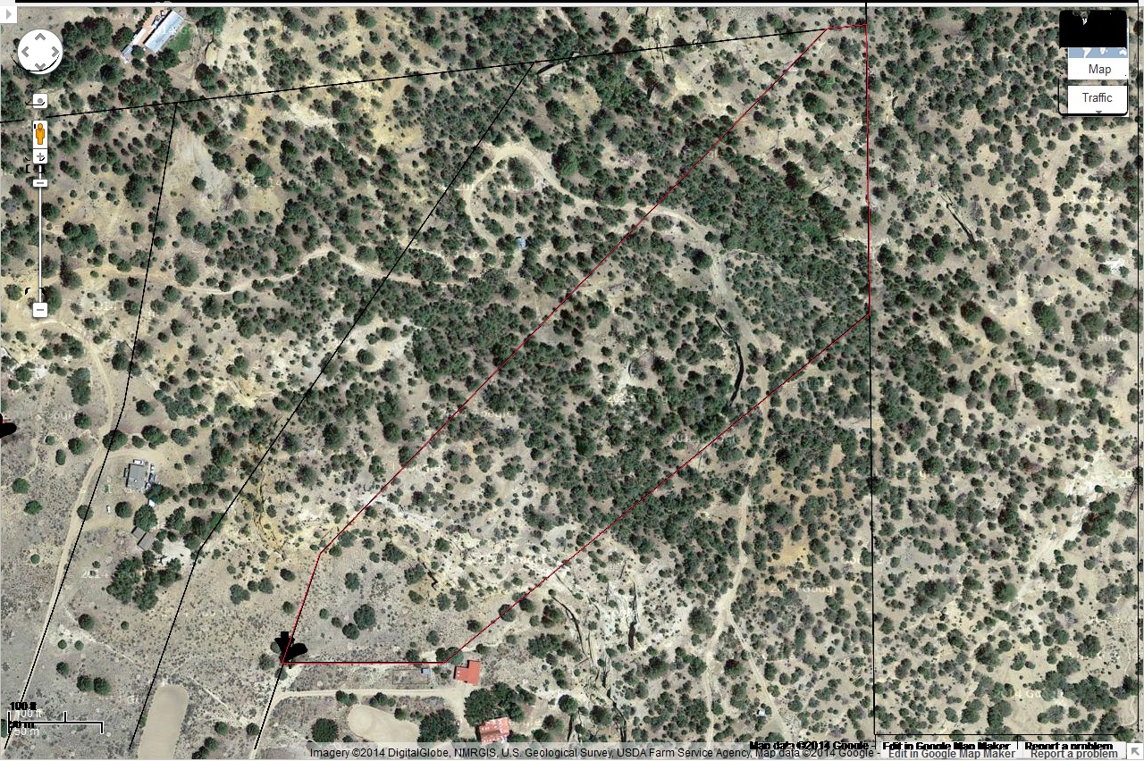
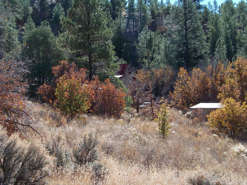
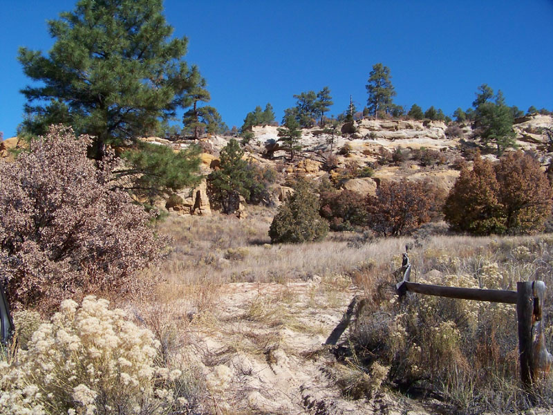
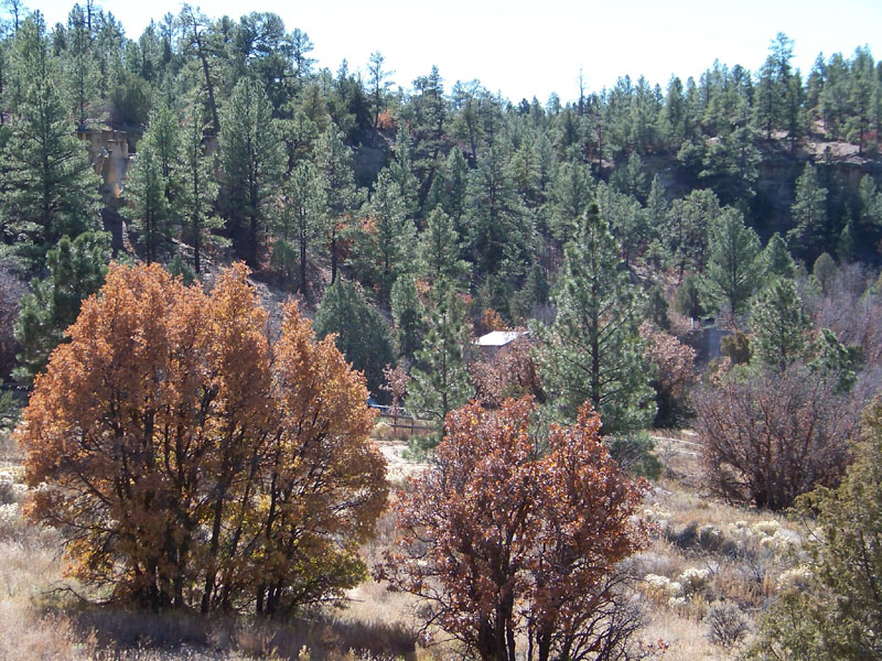
Abundant character. Two distinct ecosystems. Pine forest at top of bluff, mixed chaparral at base.
Choice of country or mountain living (or both)
Electric available at two places (front portion and along top road)
Good roads (both of them). Two wheel drive accessible - visible on aerial view
Relatively Level lot, many building sites, most of the lot is usuable (only the bluff is not)
Private rural community, very quiet
Mobile homes and RV's allowed
Only 6 minutes to town and shopping
$10,999 Cash Price, $12,999 owner finance price. (Assessor value $15,000)
Click here for Bing Maps satellite view
Click here for plat map by Google Maps. Green Arrow marks center of lot. Plat lines may be very faint on some displays. Note: if plat not showing, click on the MAP icon.
Click here for community Plat Map. Tract 6 is the lot of interest.
Click here for survey plat showing property shape and dimensions
Click here for Aerial map with plat overlay, outlined in red.
SOLD - Please check out our other lots!
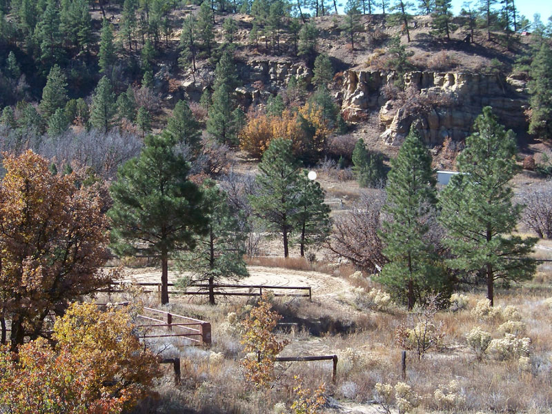
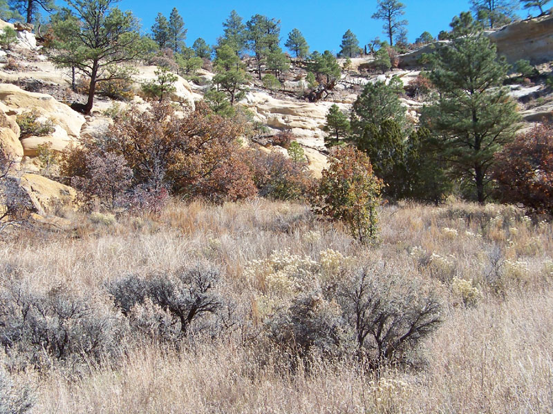
Actual Lot Photos of and from base of bluff (November 2014). No pictures of the top of bluff were taken. We did not have all the maps and info at the time of pictures. We know it to be large Ponderosa Pines as per the aerial maps and surrounding area:
|
|
|

|
|
|
|
|
|
|
Complete Legal:
Tract 6 out of a portion of Section 17, T21N, R1W, N.M.P.M., Sandoval County, New Mexico
LEGAL DESCRIPTION
A certain Tract of land known as Lot 6 in Section 17, T21N, R1W, N.M.P.M., Sandoval County, New Mexico, being a portion of the SW/4 SE/4, a portion of the SE/4 SW/4 and a portion of Lot 4 of Section 17 more particularly described as follows:
BEGINNING at the Northwest corner of the herein described tract of land, whence the S/4 corner of Section 17, T21N, R1W, N.M.P.M., a marked stone in place bears N 84° 10' 12" E, a distance of 58.84 feet, thence S 00° 00" 22" W, a distance of 2276.38 feet, thence N 89° 52' 11" W, a distance of 1322.42 feet;
Thence from said point of beginning S 45° 09' 38" W, 1294.51 feet;
Thence S 19° 49' 00" W, 207.00 feet;
Thence N 90° 00' 00" E, 280.00 feet;
Thence N 51° 39' 29" E, 977.34 feet;
Thence N 00° 00' 22" E, 507.22 feet;
Thence S 84° 10' 12" W, 58.84 feet to the point of beginning and containing 10.00 acres, more or less.
Together with use of 50 foot road easement for ingress and egress to Highway 44.