
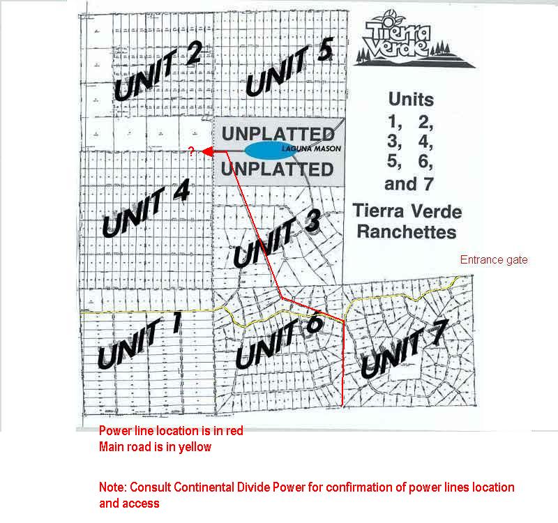
Tierra Verde, Unit 6, Lot 64
Lot Information:
4.92 Total Lot Acreage
100yds. to power
$5,900 Lot Price
Assessor Subdivision Plat Map
Powerline Overview Map
Click here for Bing Maps.
Written step by step driving directions below.
SOLD - Please check out our other lots!
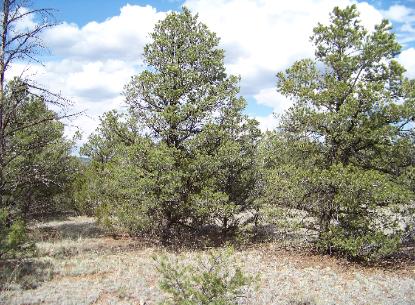
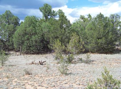
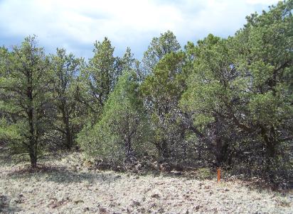
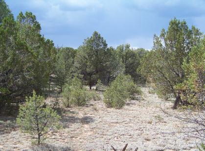
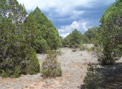
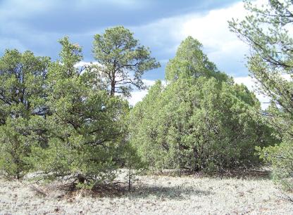
Actual Lot Photos:
|
|
|
|
|
|
Directions from I-40:
1. Take I-40 to Grants
2. Take exit 81B to Hwy 53 (Ice Caves Rd)
3. Turn South (left), just after 60 mile marker, on CR-42 (Back Country Byway). - 25.4 mi
4. Follow this road south/southwest to fork in road - 4.4 mi
5. Bear right and continue on CR-42 to fork (left fork is Lava Tubes Rd, signs are present)- 3.0 mi
6. At Lava Tubes Rd intersection continue west (right) on Cerro Americano Rd (signs present). This road wraps around base of extinct volcano - 1.3 mi
7. At branch in road bear left and continue west to cattle guard - 1.4 mi
NOTE: at the cattle guard, you have entered Tierra Verde
8. Cross cattle guard, proceed to branch in road (name changes to Cerro Leonides Rd)
9. Proceed west (right), after another 0.5 to 0.6 miles veer right on the double road (about 250 feet after the residential driveway)
10. After 120 feet, turn right onto access road (barely used and may be faint)
11. Travel about 550 feet to end of cul de sac and lot will be directly in front of you. (You will cross under power lines about half way down this road.)
12. While walking the lot, you will come to a partial fence at the back boundary. We think the fence corners coincide with the lot corners
Note: County maintained road ends at Lava Tubes Rd. Dirt road is passable with truck or 4 wheel drive (some road clearance desirable). Other aids such as a GPS unit, plat, area or B.L.M maps may be helpful to find this property.
Caution: directions provided by Google Maps will leave you short of destination and behind a locked gate. Bing maps may or may not get you to destination. Some locked gates may exist. Our directions came from the county assessor and actual driving.